-40%
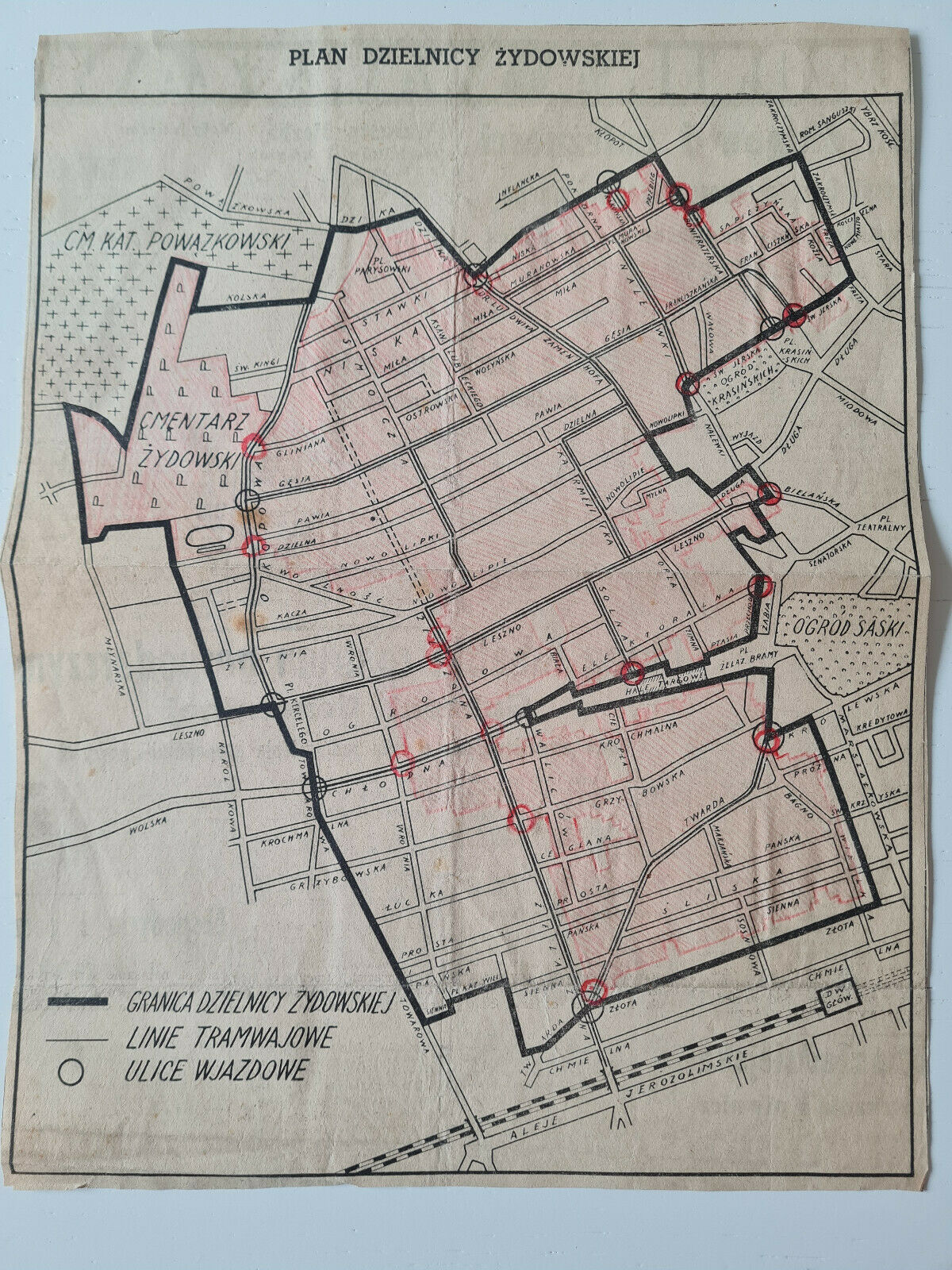
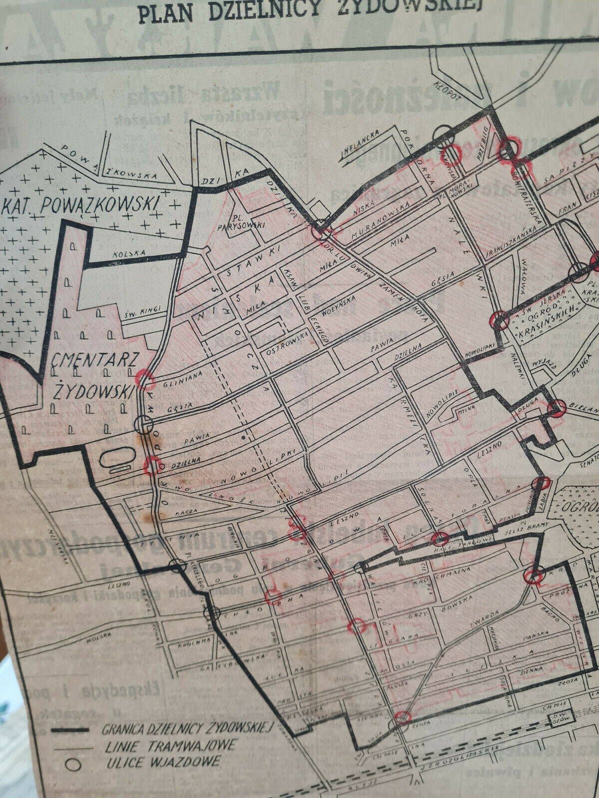
Map of Jewish Warsaw Ghetto District Ist print original 1940
$ 23.76
- Description
- Size Guide
Description
For sale original famous Map of Warsaw Ghetto District from 15 October 1940 published bythe German controlled
Gazeta Zydowska
and
Nowy Kurier Warszawski. This map is from Nowy Kurier Warszawski published in 15 October 1940 its not reproduction but original map. The newspaper map is indeed the first public map of a ghetto in Warsaw.
On this map was detailed marked on red colour you can find new boundaries the ghetto because
just for the one month from the first public plan to the start of the ghetto the boundaries changed.
Nowy Kurier Warszawski
for 16/17 November lists in detail the boundaries of the ghetto, specifying the streets and the numbers of the houses besides which the border runs. The coulured on red new boundaries overlaps with these new borders. As
a curiosity should be given that these new red borders warsaw ghetto district updated also gates to the ghetto (red circle). In available historic maps of the ghetto in internet, these new gates in new boundaries of ghetto are not showed up. So I suspect red borders on the map and gates were painted in about 1940 when ghetto was established.
As an extra you will find other 4 maps from newspapers from WWII period which were collected together with warsaw ghetto map.
Link to national library in Warsaw Poland with digitalized full edition of Nowy Kurier Warszawski from 15 October 1940 page 3 with map:
https://polona.pl/item/nowy-kurier-warszawski-1940-nr-243-15-pazdziernika,NzkyMTc2OQ/3/#info:metadata
